Why POTA.app 2026 changes your field planning habits
POTA announced that the rebuilt pota.app went live on Oct. 15, 2026, after public beta testing. For activators, the practical value is not just a fresher interface. The useful shift is that the map, location planning, and rove-oriented workflow can help you catch problems before you are sitting at a picnic table with a wire in a tree, a weak phone signal, and a log that will not upload cleanly.
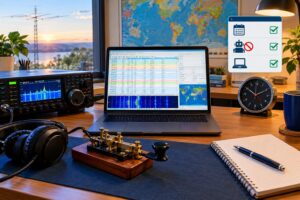
The goal is simple: use POTA.app 2026 as a pre-activation checklist tool, not just as a spotting page. A clean activation plan answers four questions before you call CQ: Am I inside the valid park boundary? Is this really a legal multi-location combination? Am I logging the correct reference for each QSO? Will my ADIF export tell the same story that my operating plan tells?
For official details, start with POTA’s announcement and documentation: New POTA.app Now Live, the POTA Rules, and the POTA Activator Guide. Treat this article as a field workflow, not a replacement for the current rules.
The clean-activation mindset
Many bad POTA logs are not caused by weak RF technique. They come from small planning mismatches: the operator was outside the park, the wrong reference was selected, a rove stop was merged into the previous stop, or a multi-location claim was based on nearby parks rather than overlapping valid operating locations.
A clean activation has three matching records:
- The physical reality: where your station, antenna, feed line, and operator were located while transmitting.
- The POTA plan: which park reference or valid reference combination you intended to activate from that location.
- The ADIF log: the date, time, band, mode, call signs, and POTA reference fields that document the contacts.
If those three do not agree, the map cannot rescue the log after the fact. Use the rebuilt site to reduce ambiguity before the first QSO.
Pre-trip map checklist
Confirm the exact park reference
Before driving, search the park in POTA.app and confirm the reference, park name, entity, and status. Do not rely on a copied reference from an old note, social media post, or previous log file. Park names can be similar, and nearby units may have separate references.
Write the reference in your field notes exactly as shown by POTA. If you use computer logging, create the activation profile before leaving home. If you log on paper, pre-fill the page header with call sign, UTC date, park reference, grid if you track it, and planned operating bands.
Zoom in farther than seems necessary
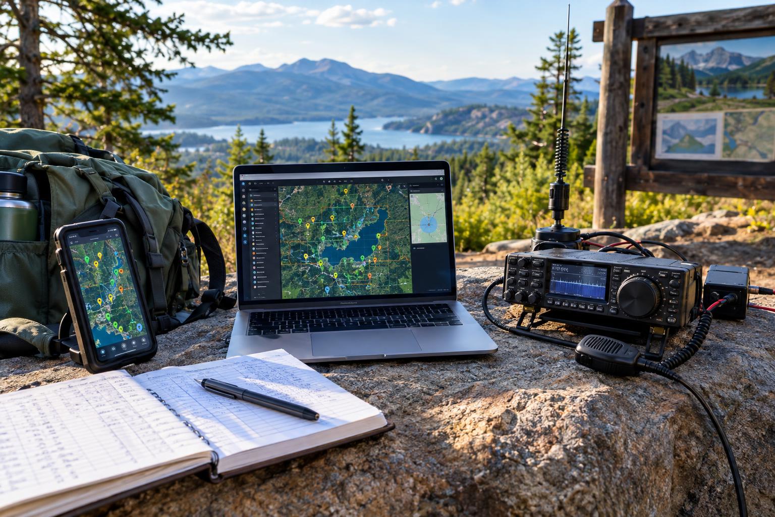
A map is most useful when it prevents a boundary mistake. Zoom in and look for roads, parking areas, trailheads, water edges, and other practical landmarks near the park boundary. A convenient pull-off across the road may be close to the park but not inside it. For POTA, proximity is not the same as operating from the park.
Also remember that GPS and phone mapping are aids, not legal descriptions. If the operating spot is close to a boundary, use the best available official park information and choose a location clearly inside the unit. A 50-foot convenience gain is not worth an invalid activation.
Check access, hours, and operating practicality
POTA qualification and real-world access are different questions. A site can be valid for POTA yet impractical because of seasonal gates, parking restrictions, sensitive habitat, local antenna restrictions, wildfire closures, or poor cellular coverage. Use POTA.app for the POTA reference and map planning, then verify local access through the managing agency when needed.
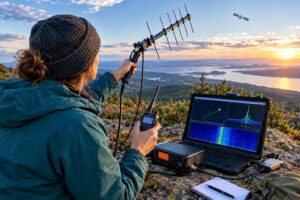
For portable HF, mark at least two possible antenna locations. For example, identify one open area suitable for a 20-meter vertical and another place where an end-fed or linked dipole could be deployed without crossing roads, trails, or occupied campsites. If you arrive and the first area is crowded, you can move without improvising near the boundary.
How to plan a valid multi-loc
A multi-loc, or multi-location activation, is tempting because it can credit more than one reference from one operating position. The trap is assuming that two parks near each other automatically qualify. They do not. Your operating location must be valid for each reference you claim under current POTA rules and guidance.
Use the map to answer this question: Where exactly can my station sit while being inside all claimed locations? If you cannot point to a defensible operating position that satisfies that test, do not create a multi-loc log. Activate one reference, then move if you want to activate another.
Multi-loc field test
- Identify each intended POTA reference on the map.
- Look for true overlap or a clearly valid shared operating area, not just visual closeness.
- Choose a specific operating spot and backup spot inside the valid area.
- Save screenshots or written notes for your own planning, especially in complex boundary areas.
- If the location is ambiguous, operate one reference only and keep the log simple.
The conservative choice is usually the cleaner one. Hunters want an accurate park reference more than a complicated claim. A single valid activation is better than a multi-loc that produces rejected QSOs or later corrections.
Rove planning without mixing your logs
Roving is efficient: several parks, one day, one portable station. It is also where logging mistakes multiply. The rebuilt POTA workflow can help you plan a sequence, but you still need a disciplined boundary between stops.
For each rove stop, create a separate mini-plan:
- Stop name: Park reference and plain-English location.
- Arrival decision: where you will park and where the operator and antenna will be.
- Start marker: a fresh log file, new paper page, or clear line break.
- End marker: final UTC time before teardown or movement.
- Spotting plan: band, mode, and reference shown correctly before calling CQ.
Do not continue the same active log while driving from one park to another unless your logging software and personal workflow make the location change unmistakable. A QSO made at 1810 UTC from Park A and another at 1825 UTC from Park B should not look like one continuous activation from the same place.
ADIF fields that commonly cause trouble
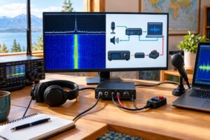
ADIF, the Amateur Data Interchange Format, is the normal way many logging programs exchange ham radio contact data. It is flexible, which is useful, but that flexibility allows inconsistent exports. For POTA, the ADIF file must accurately represent who operated, when the QSO occurred, and which POTA reference was being activated.
Exact field requirements can change with POTA tools and guidance, so follow the current activator documentation. In practice, these are the areas to verify before upload:
- Call signs: The contacted station call, your station call, and operator call should reflect the actual operation, especially for club calls or guest operators.
- Date and time: Use UTC, not local time. Check date rollover during evening activations in US time zones.
- Band and mode: Confirm that the logged band and mode match the contact. Do not let software default every QSO to the last band used.
- POTA reference fields: Your activated reference and any park-to-park reference should be in the proper POTA-related ADIF fields according to current documentation.
- Multi-location references: Only include multiple activated references when the operating position was valid for all of them.
- Duplicates: Avoid accidental duplicate QSOs caused by importing both a computer log and a paper transcription.
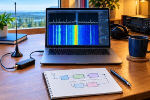
A good habit is to open the exported ADIF in a plain-text editor before upload. You do not need to hand-edit every contact, but scanning the first few QSOs and the transition between rove stops often reveals wrong dates, wrong references, or an old station profile.
Example: one day, two parks, one possible overlap
Imagine you plan a Saturday activation with Park A in the morning and Park B after lunch. The map also shows an area where Park B appears close to another POTA reference, Park C. The cleaner workflow is:
- Plan Park A as a normal single-reference activation. Create a log named with the UTC date and Park A reference.
- After teardown, close the Park A log. Do not add travel QSOs or mobile contacts to that activation unless they comply with the program rules and your actual operating location.
- At Park B, use the map to confirm whether your station location is valid for Park B only or for both Park B and Park C.
- If the overlap is obvious and you are confident under current rules, configure the activation as a valid multi-loc before operating.
- If the overlap is uncertain, activate Park B only. Save Park C for a separate operating position.
This approach prevents the most common rove problem: a log that looks efficient in the field but becomes hard to defend during upload review.
POTA and SOTA on the same trip
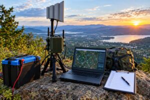
POTA and SOTA can pair beautifully: hike to a summit, work HF or VHF, then activate a nearby park. But the rules are not interchangeable. POTA is tied to designated park units and their valid boundaries. SOTA is tied to qualifying summits and the applicable activation zone under SOTA rules.
Do not assume that a summit inside or near a park automatically makes every contact valid for both programs. Before the trip, separately confirm the POTA reference and the SOTA summit reference. In the field, log the activation details clearly enough that you can export or submit to each program without inventing information later.
Also plan power and antennas realistically. A summit-friendly VHF handheld may be enough for local SOTA contacts in some areas, while a low-noise HF station may be better for POTA hunters. If you change bands, antennas, or operating positions between programs, mark that change in your notes.
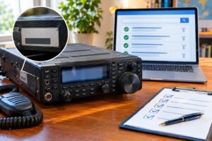
Field checklist before calling CQ
- My operator position and antenna are inside the intended POTA location.
- The reference on my logger, spot, and paper notes matches POTA.app.
- If claiming multiple references, this exact operating spot is valid for all of them.
- My logger is using UTC date and time.
- My station call and operator call are correct for this activation.
- Band, mode, and power notes are set correctly.
- My spotting text does not claim an uncertain reference.
- I have a backup plan if the band is poor, the site is crowded, or access changes.
Safety and regulatory caveats
Portable operating still requires normal amateur radio judgment. Stay within your license privileges, band allocations, and applicable RF exposure requirements. Keep antennas away from overhead lines, roads, trails, and occupied areas. Secure masts and wires so they cannot fall into people, vehicles, or power conductors. Follow park rules, posted closures, fire restrictions, and quiet-hour expectations.
For battery power, protect terminals from shorts, use appropriate fusing, and keep lithium batteries out of excessive heat. For winter and mountain activations, radio planning does not replace weather, navigation, and personal safety planning.
FAQs
Does POTA.app 2026 make my activation automatically valid?
No. The app helps you plan and document, but validity depends on the current POTA rules and your actual operating location. Use the map carefully and resolve boundary questions before operating.
Can I fix a wrong park reference after upload?
Sometimes logs can be corrected, but that is not a planning strategy. It is far easier to prevent the mistake by checking the reference, location, and ADIF export before submitting.
Should I combine all rove contacts into one ADIF file?
Only if your workflow preserves the correct reference information for every QSO. Many activators find separate logs per park simpler and less error-prone, especially when moving between non-overlapping locations.
What is the safest rule for questionable multi-locs?
If you cannot clearly confirm that your operating position is valid for every claimed reference, do not claim the multi-loc. Activate one reference accurately, then move to a valid location for the next one.
Key takeaways
- Use POTA.app 2026 before the trip, not only during spotting.
- Plan from exact operating positions, not general park names.
- Keep rove stops separated with clear log boundaries.
- Claim multi-locs only when the same station location is valid for all references.
- Inspect ADIF exports for UTC time, call signs, bands, modes, and POTA fields before upload.
The rebuilt site gives activators better tools, but the cleanest logs still come from disciplined field habits. Know where you are, know what you are claiming, and make sure the ADIF file says exactly that.